 Pristupačnost
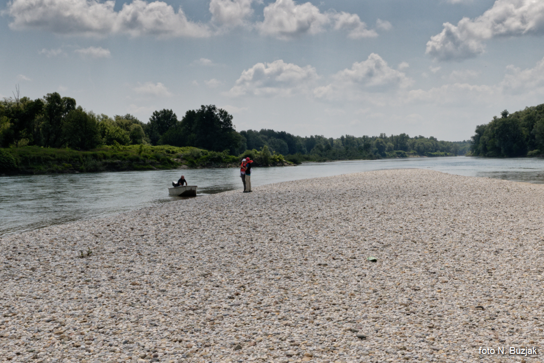
Geomorphological research of the river banks, islands and the bank of the Sava River in the area of the part of the ecological networks Natura 2000
- area of significant bird conservation HR1000002 Sava near Hruščica (project "Together for the Sava River")
| Leader | prof. dr. sc. Nenad Buzjak |
| Collaborators | Valerija Butorac, mag. geogr. |
| Duration | 1.5.2018. - 31.12.2020. |
Summary:
According to the Service Agreement in the framework of the project "Together for the Sava River", concluded between the Public Institution for the management of Protected Natural Values of the Zagreb County "Zeleni prsten" and the Faculty of Science, University of Zagreb,
a) Geomorphological field survey of the banks, islands and banks of the Sava River
b) Analysis of the collected data,
c) Development of a geospatial database,
d) Valorization of the collected and analyzed data.
The work on the project as per the above points was done primarily through fieldwork methods as there was no data on the research area relevant to the preparation of this study. Methods used included literature and source analysis, geomorphological observation, field mapping and remote sensing based on digital orthophoto maps DOF 1: 5,000 (2011 and 2014/2016) and topographic maps TK 1: 25,000, morphometry and morphography. dimensional measurements and determination of relief shapes), then photography and analysis and synthesis using GIS tools. Depending on the water level and geomorphological processes, 42-53 banks and one river island were mapped. Their morphological and morphometric characteristics and habitat conditions were determined.